Print a Map
Wondering how to find us? Planning your hike through our beautiful fields and forests?
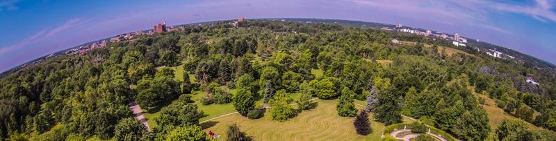
The Arboretum is accessible by car, bus, bike, or foot. For bus routes and times please refer to the Guelph Transit Website. Click on the Google Map below for walking directions from your location.
GPS Co-ordinates:
OAC Centennial Arboretum Centre: 43.540854900079225, -80.21513264534705
Taylor Nature Centre: 43.54188096501522, -80.21188117731904
Arboretum Entrance via Main Campus: 43.53610418929407, -80.21972787580182
The OAC Centennial Arboretum Centre
From the entrance off of College Avenue, continue South approximately 300m to the parking lot on your left. The Arboretum Centre is on your right.

The Taylor Nature Centre
At the far end of the parking lot across from the Arboretum Centre, you can access the Ivey Trail (look for the split rail fence) that leads to the South corner of Victoria Woods and to the Taylor Nature Centre. (Red Star in the map below!)

File attachments
File attachments
| Attachment | Size |
|---|---|
| 21.24 MB | |
| 870.53 KB |