Fired Up
U of G professor uses mathematical modelling to fight wildfires in British Columbia.
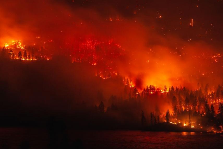
A devastating consequence of climate change, wildfires make global news every year. In 2020, fires ravaged Australia due to record-breaking temperatures and a severe drought. Here in Canada, the Western provinces are highly impacted by wildfires due to lightning storms and human actions. British Columbia saw over one million hectares of land burned in 2018 alone. It is critical to find ways to plan for, predict, and respond to these fires, which if left uncontrolled can destroy nearby neighbourhoods and create harmful smoke.
University of Guelph mathematics and statistics professor Khurram Nadeem and a team of researchers recently examined new mathematical models to aid in fire management efforts. Their challenge: wildfire datasets are large and include a vast array of variables, such as vegetation, geography, and atmospheric stability. To inform fire management programs, it is crucial to understand how wildfires respond to these diverse variables and how the variables themselves interact.
The team examined a series of variables that could cause wildfires in British Columbia and developed three models with different wildfire management applications. The first model can be used to predict the probability that a fire caused by lightning was ignited at a location in the recent past, and thus help identify where a fire might start following a lightning storm. The second model can predict how likely it is for future lightning-caused fires to occur in an area. The final model detects recent human-caused fires and predicts the likelihood of their future occurrence. To improve the accuracy of the models, the team implemented a novel algorithm, which ranks the variables that drive daily human- and lightning-caused fires by order of importance. One factor, baseline risk, proved especially important and consistently high-ranked by their algorithm. Baseline risk is measured as the average number of historical fires in a location since 1981.
“All three models were accurate and understanding baseline risk helped us interpret the other variables,” explains Nadeem. “Predictive models like ours can be used as a tool for fire agencies to make decisions around public advisories, prepositioning fire crews, and aircraft routing—limiting the risk to humans that results from wildfires.”
This work was supported by the Department of National Defence Canadian Safety and Security Program, the Natural Sciences and Engineering Research Council of Canada, and the Canadian Statistical Sciences Institute Collaborative Research Team Grant.
Nadeem K, Taylor SW, Woolford DG, Dean CB. Mesoscale spatiotemporal predictive models of daily human-and lightning-caused wildland fire occurrence in British Columbia. Int. J. of Wildland Fire. 2020 Feb 4. doi: 10.1071/WF19058.