Geographic Information Systems
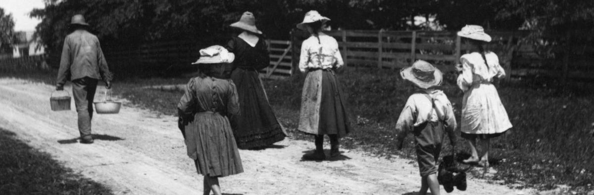
Photograph: A group walking, Reuben Sallows collection, University of Guelph Library, Archives, and Special Collections, Agricultural History (XA1 MS A182 #0601)
This section aims to encourage students and researchers to think spatially about rural history. There are now several guides available for using GIS in historical research, so the description of basic and advanced concepts is brief and the case study is directed to rural historians.
Another major component is a collection of links to a rich and rapidly growing variety of electronically accessible maps and data (spatial and other information) that may serve rural historians. Researchers at the University of Guelph will benefit from the Library’s commitment to providing GIS resources and training, and are encouraged to plan their project and contact library staff with more specific questions.
What is GIS?
Basic and Advanced Functions of GIS
GIS Case Study
Resources
If you are at all curious about how you might be able to use GIS in your research please contact staff in the University of Guelph Data Resource Centre.